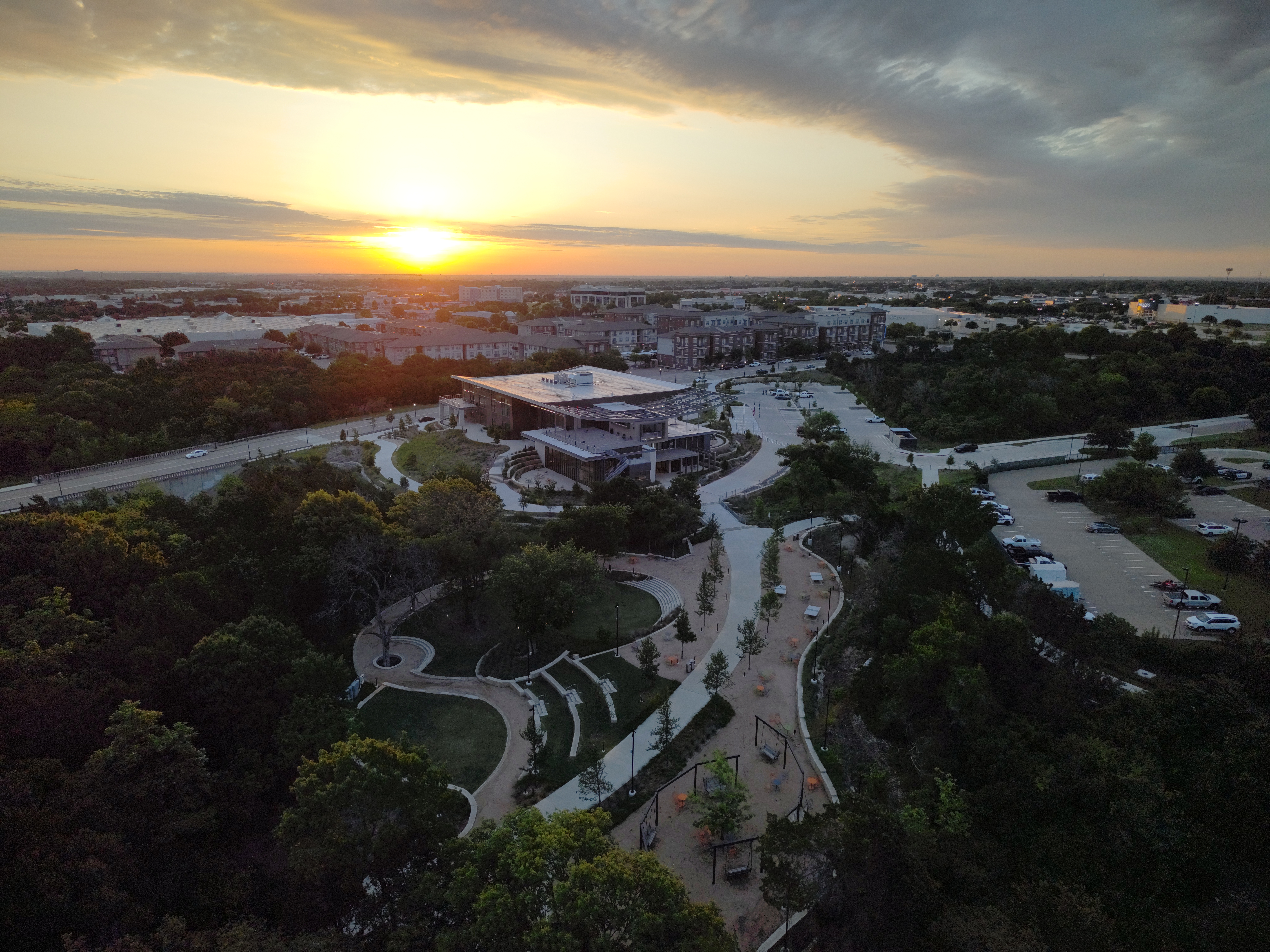
Soaring to New Heights
Drones are an incredible tool, not just for vanity photography but for highly technical photogrammetry – data-rich imaging that can map onto three-dimensional jobsite models, enhance multiple layers of logistics and more to yield endless dividends. But most are battery-powered, and those batteries don’t last long.
When you’re imaging a sprawling, campus-sized project in the North Texas plains, you need bigger and better wings.
The Texas Construction Technology (CT) team thus chose to double down on the construction operations applications of drones because they see the value of sharper, faster eyes in the sky. With a new Skydio X10 drone, the team has quadrupled their flight time capabilities, boosted their imaging resolution by orders of magnitude and created new opportunities to provide Balfour Beatty staff, trade partners and client stakeholders with valuable data for decision-making.
Capable Quad-Copter
The Texas CT team selected the Skydio X10 for many features, all with client value in mind., This model is faster, more durable, more capable of valuable data capture and more user-friendly than any other drones in use across Balfour Beatty’s US operations.
Rather than utilizing an interference-prone electromagnetic navigation system like most consumer-and commercial-grade drones, the new drone navigates using visual input, not unlike a Tesla vehicle’s automatic driving system.
“One of the primary use cases for this type of drone, and a way we expect it to benefit our projects and clients across many different kinds of projects, is in airborne utility inspections,” says Dominic Corrado, Texas construction technology (CT) director. “The X10 can safely fly around and image substations, powerlines and other electrically volatile structures that could interfere with other drones’ operations, enabling better quality control and progress monitoring even from hard-to-reach perspectives of a project.”
The most impressive feature of the new drone, however, is its sheer capacity – both for flight time and image quality. Where a previous model drone might be capable of imaging an entire 100-acre project in several hours across four or five fully-charged batteries, the X10 can capture the same project in one charge and in 30 airborne minutes. In that time, the drone’s camera is capturing 64-megapixel images, three times sharper than previous methods. With higher quality images comes a reduced need for redundant captures, the ability to fly higher and capture more at once and an overall reduction in capture quantity and time needed. All told, the new drone requires 75% less labor from two project engineers needed to operate a less advanced model.
“Drone-capture photogrammetry powers any number of powerful project insights, from site logistics to 3D-modeling excavation progress,” Dominic adds. “Every increase in image quality corresponds to an increase in the reliability of our analysis and the confidence our stakeholders can have in this valuable data.”
The Future of Flight
 The Texas team’s adoption of the Skydio X10 also portends a new zeitgeist in the way project staff utilizes drones. While VDC and CT professionals like Dominic and Reality Capture Assistant Manager Cameron Wahl are more than capable of the day-to-day process of toting drones to and piloting them around jobsites, their skills are much better suited to the post facto data analysis.
Instead, Dominic and Cameron have structured a system by which they constantly train project engineers, enabling their FAA certification as skilled drone pilots. Not only does this give those project engineers a more intimate understanding of the data they’re collecting, but it also creates new generations of project staff with a deep experiential knowledge of the value of VDC technology, Building Information Modeling (BIM) coordination and the invaluable information it can provide to all project stakeholders.
“VDC and BIM are fields that will only ever progress as our technology becomes more advanced and more capable,” Cameron adds. “The more we can prepare the next generation of project leaders with an intuitive sense of jobsite reality capture, the more our clients will continue to see increasing schedule, budget and quality control benefits.”
Data-driven
Drones are one of the most visible ways our VDC teams can generate value on a project. On other fronts, these technology leaders are exploring the construction applications of AI, laser scanning existing conditions to within millimeters of accuracy and even exploring the use of advanced robotics.
If there’s a technology with the potential to reduce risk and drive positive project outcomes for our clients and partners, our VDC teams across the U.S. are leading the way, constantly sharing their expertise across our markets, testing new solutions and ensuring the best are deployed on our projects as soon as possible.